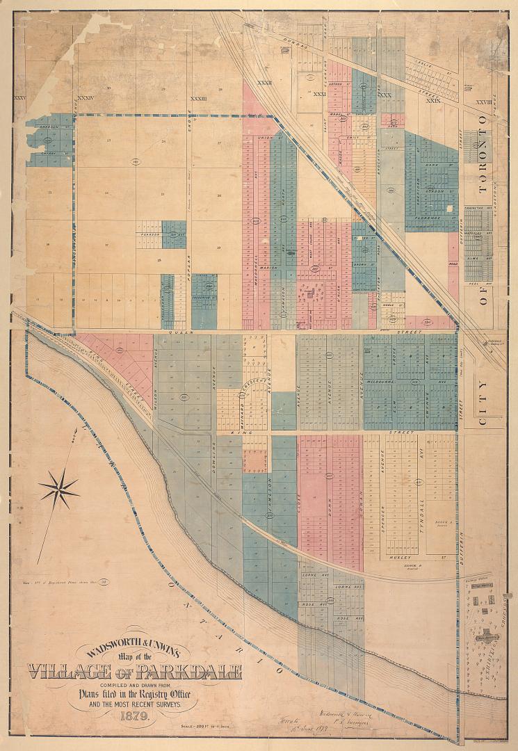

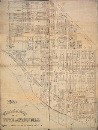
Wadsworth & Unwin's map of the village of Parkdale compiled and drawn from plans filed in the registry office and the most recent surveys
Date1879
Names
Rolph, Smith & Co.
(lithographer)
Wadsworth & Unwin
(cartographer)
FormatMap
NotesNote: Number of registered plans shown thus 333.
Subject
Dimensions78 cm x 114.5 cm (30 11/16 in. x 45 1/16 in.)
Scale1 inch = 200 feet
Language
CollectionBaldwin Collection of Canadiana
Usage Rights
Public Domain
(Learn More)
Object NumberT-1879-LARGE

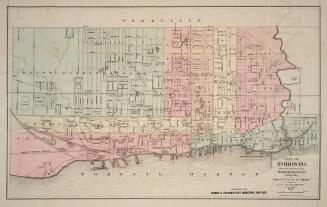
Burland-Desbarats Lithograpic and Pub. Co.
1875
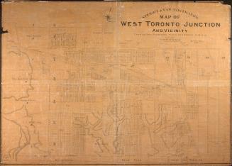
Star Eng. Co. (Toronto, Ont.)
1887
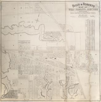
Biggs, J. M. Mouat, 1864-
1890-01-01

Bowen, Emmanuel, 1693?-1767
Approximately 1740
Bowen, Emmanuel, 1693?-1767
1744