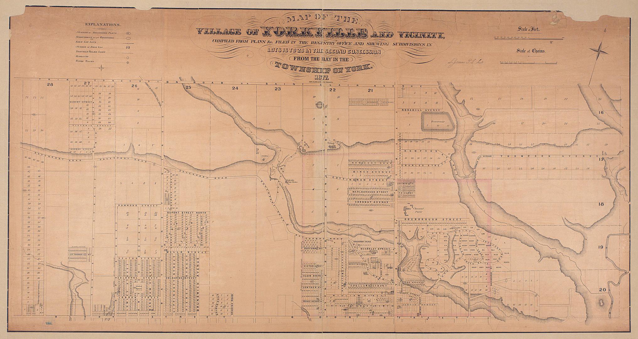

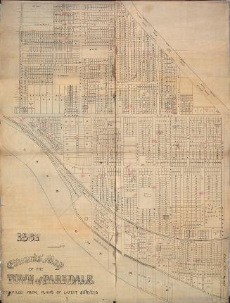
Map of the village of Yorkville and vicinity, compiled from plans & filed in the Registry Office
Date1877
Names
Copp Clark Company
(publisher)
James, Silias, 1834-1915
(cartographer)
Copp Clark Company
(lithographer)
FormatMap
NotesShows number of registered plans, unregistered subdivisions, farm lot lines, farm lot numbers, Yorkville village limit, hydrants and water tanks.
Subject
Dimensions80 cm x 130 cm (31 1/2 in. x 51 3/16 in.)
Scale1 inch = 300 feet
Language
CollectionBaldwin Collection of Canadiana
Usage Rights
Public Domain
(Learn More)
Object NumberT-1877-LARGE
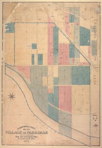
Biggs, J. M. Mouat, 1864-
1890-01-01

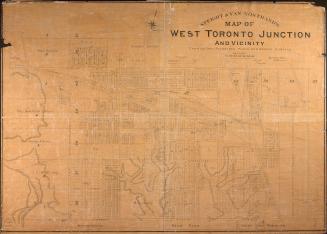
Star Eng. Co. (Toronto, Ont.)
1887

![[Plate 50. Key map for 1893 atlas] Atlas of the city of Toronto and vicinity from special survey founded on registered plans and showing all building and lot numbers.](/internal/media/dispatcher/1947661/thumbnail)
![[Plate 48. Key map for 1893 atlas] Atlas of the city of Toronto and vicinity from special survey founded on registered plans and showing all building and lot numbers.](/internal/media/dispatcher/2116661/thumbnail)
![[Plate 49. Key map for 1893 atlas] Atlas of the city of Toronto and vicinity from special survey founded on registered plans and showing all building and lot numbers.](/internal/media/dispatcher/2063019/thumbnail)