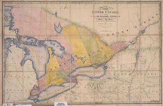
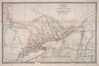
A map of the province of Upper Canada describing all the new settlements and townships &c. with the countries adjacent from Québec to Lake Huron
Date12 April 1800
Names
Smyth, David William, Sir, 1764-1837
(author)
Faden, William, 1750-1836
(publisher)
FormatMap
NotesThe first printed map of Upper Canada.
Subject
Medium
Dimensions59 cm x 88 cm (23 1/4 in. x 34 5/8 in.)
Language
CollectionBaldwin Collection of Canadiana
Usage Rights
Public Domain
(Learn More)
Object Number912-71-S538
Wyld, James, 1790-1836
Approximately 1872

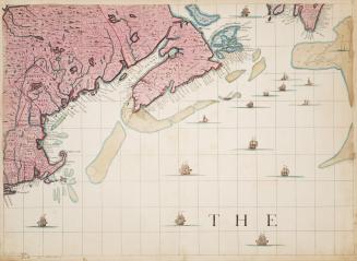


Popple, Henry
Approximately 1733


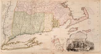
Ogden, John Cosens, 1751-1800
1795

Ogden, John Cosens, 1751-1800
1794-11-20