

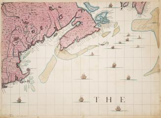
A map of the British Empire in America with the French and Spanish settlements adjacent thereto
DateApproximately 1733
Names
FormatMap
Subject
Medium
Dimensions34 cm x 51 cm (13 3/8 in. x 20 1/16 in.)
Language
CollectionBaldwin Collection of Canadiana
Usage Rights
Public Domain
(Learn More)
Object Number912-7-P58-SMALL


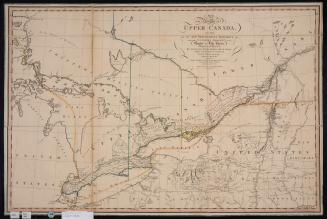
Smyth, David William, Sir, 1764-1837
12 April 1800
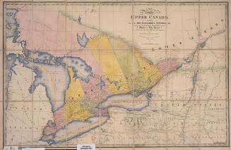
Wyld, James, 1790-1836
Approximately 1872


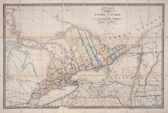
Douglass, William, approximately 1700-1752
1749

Douglass, William, approximately 1700-1752
1760

Douglass, William, approximately 1700-1752
1760