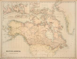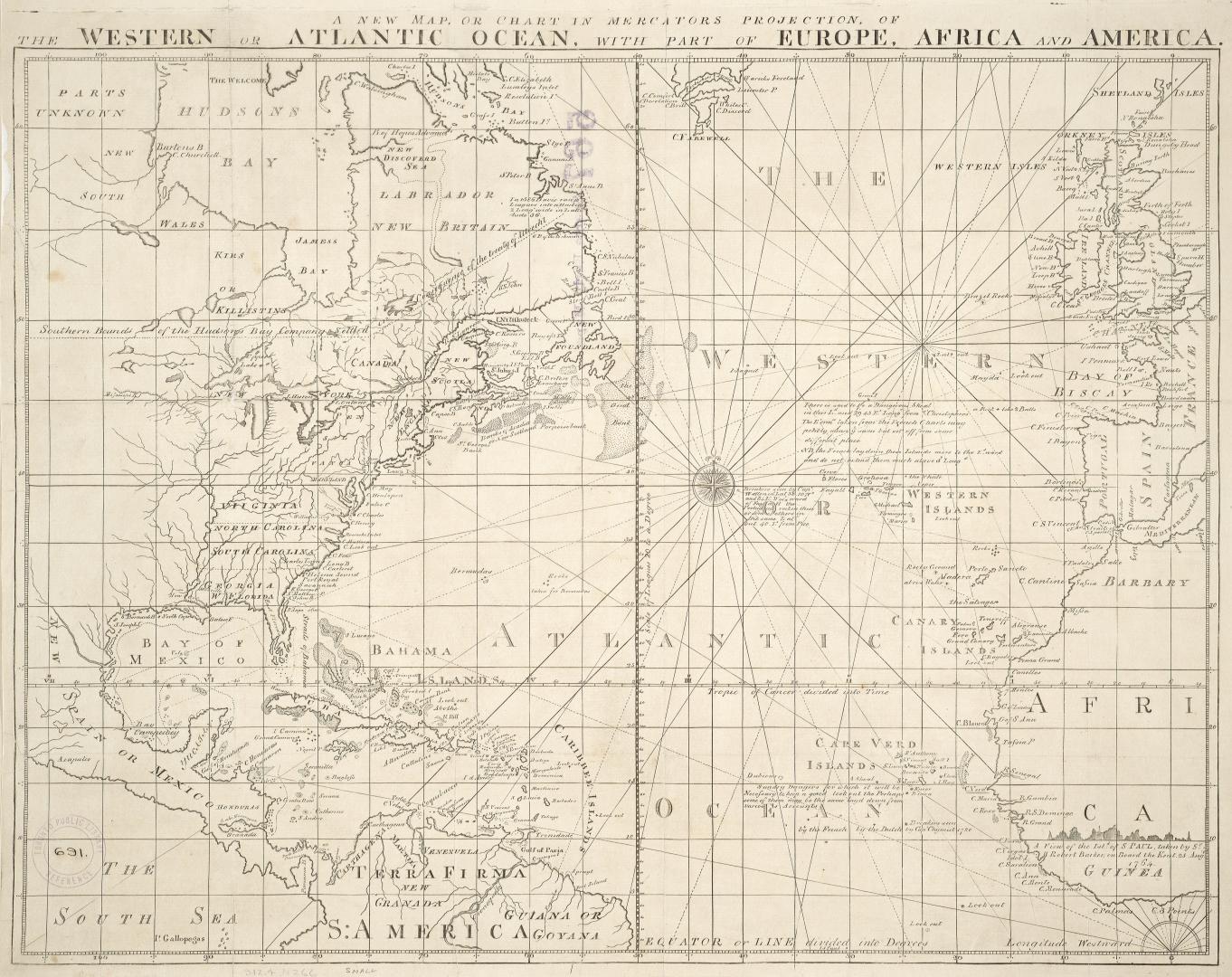

A new map or chart in Mercators projection of the Western or Atlantic Ocean, with part of Europe, Africa and America
Date1781
Names
J. Bew
(publisher)
FormatMap
NotesFrom The Political Magazine...for the year 1781, Vol. 2, p. 568.
Subject
Medium
Dimensions39 cm x 51 cm (15 3/8 in. x 20 1/16 in.)
Language
CollectionBaldwin Collection of Canadiana
Usage Rights
Public Domain
(Learn More)
Object Number912-4-N266-SMALL

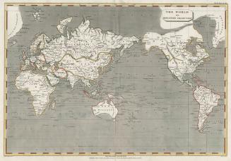
Berghaus, Hermann, 1828-1890
1863

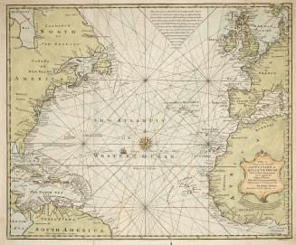
Bowen, Emmanuel, 1693?-1767
1744