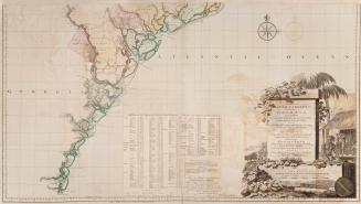
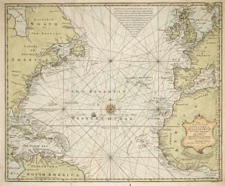
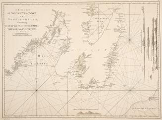
Plan of Amelia Island in East Florida Taken from De Brahm's map of South Carolina & Georgia, A chart of the entrance into St. Mary's River, A chart of(...)
Date1770
Names
De Brahm, John
(contributor)
Fuller, William
(contributor)
Jefferys, Thomas, -1771
(author)
Thomas Jefferys
(publisher)
FormatMap
Subject
Medium
DimensionsScales vary : 54 x 61 cm
Language
ProvenanceGift of James Bain family, 2008
CollectionBaldwin Collection of Canadiana
Usage Rights
Public Domain
(Learn More)
Object Number912-75911J24
De Braham, William Gerard, 1717-1799
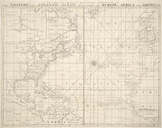
1757


Bowen, Emmanuel, 1693?-1767
1744
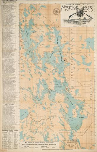
Austin, Walter F. (Walter Forward), 1872-
1858