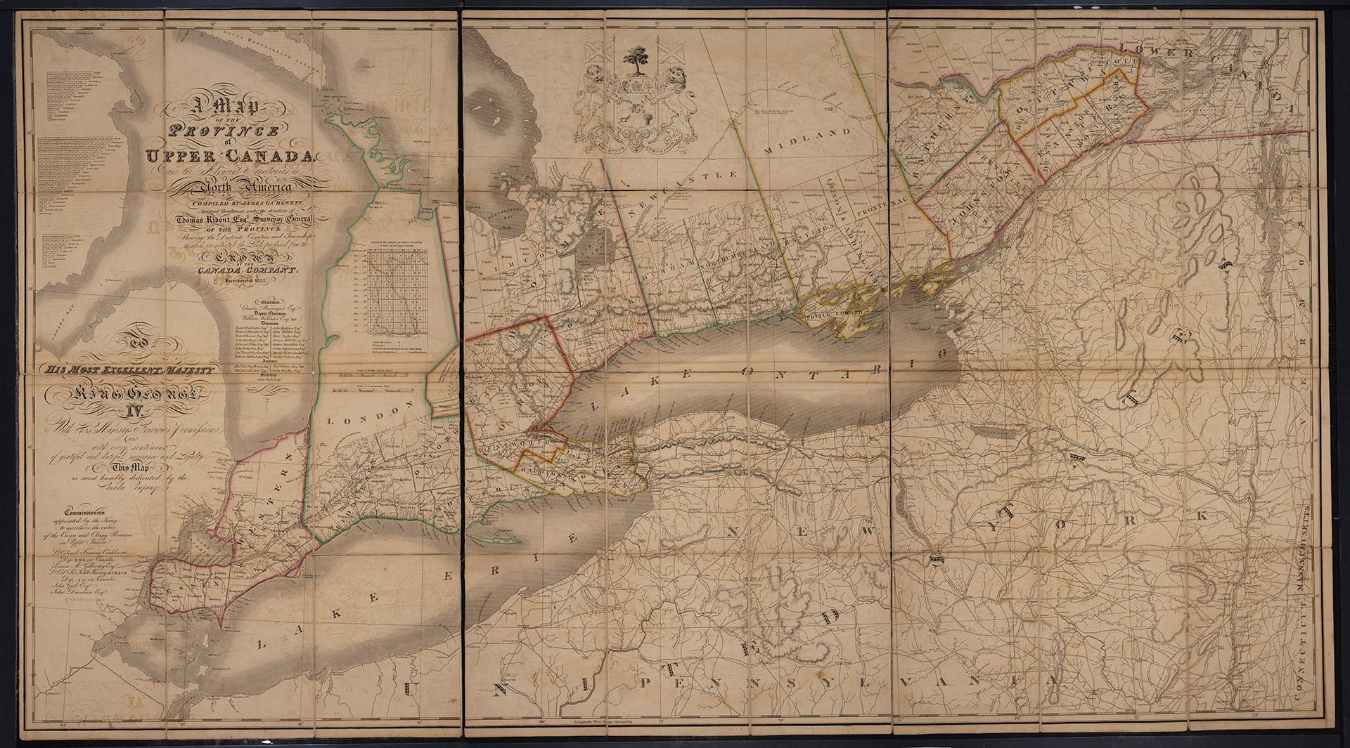

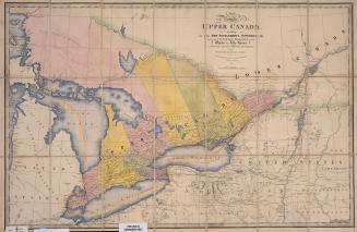
Map of the Province of Upper Canada and the adjacent territories in North America
Date1825
Names
C. Smith & Son
(publisher)
Canada Company
(contributor)
Chewett, James G. (James Grant), 1793-1862
(draftsman)
Ridout, Thomas, 1754-1829
(surveyor)
FormatMap
Subject
Medium
Dimensions99 cm x 180 cm (39 in. x 70 7/8 in.)
Language
CollectionBaldwin Collection of Canadiana
Usage Rights
Public Domain
(Learn More)
Object Number912-7132-C34

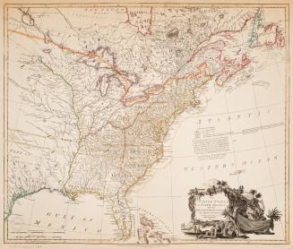
Charles C. Little and James Brown (Firm)
1845
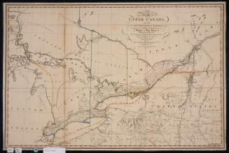
Smyth, David William, Sir, 1764-1837
12 April 1800
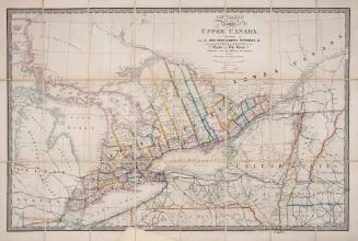
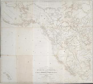
Wyld, James, 1790-1836
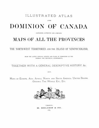
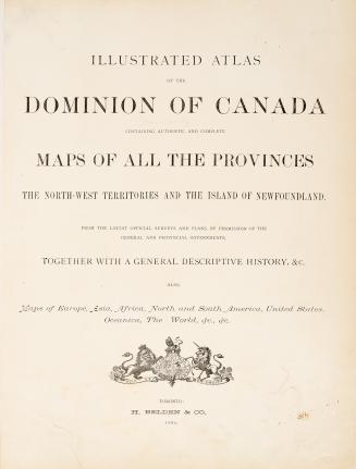
Approximately 1872