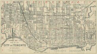
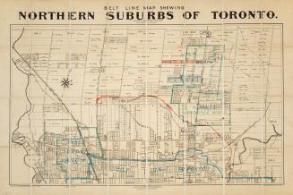
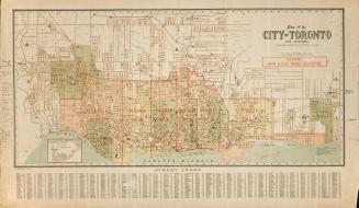
Hart & Rawlinson's Map of the City of Toronto, with Suburbs of Yorkville, Parkdale, Seaton Village, Brockton, and Ben-Lamond
Date1878
Names
FormatMap
Subject
Dimensions89 x 66 cm
Scale1 inch = 40 chains
Language
CollectionBaldwin Collection of Canadiana
Usage Rights
Public Domain
(Learn More)
Object NumberT-1878-2-SMALL