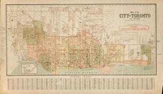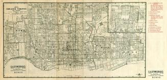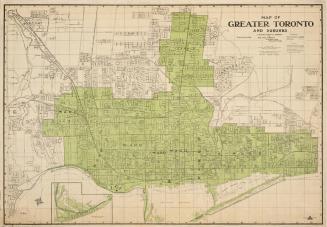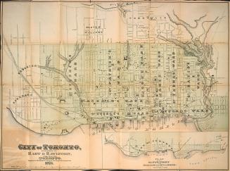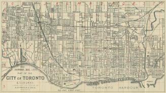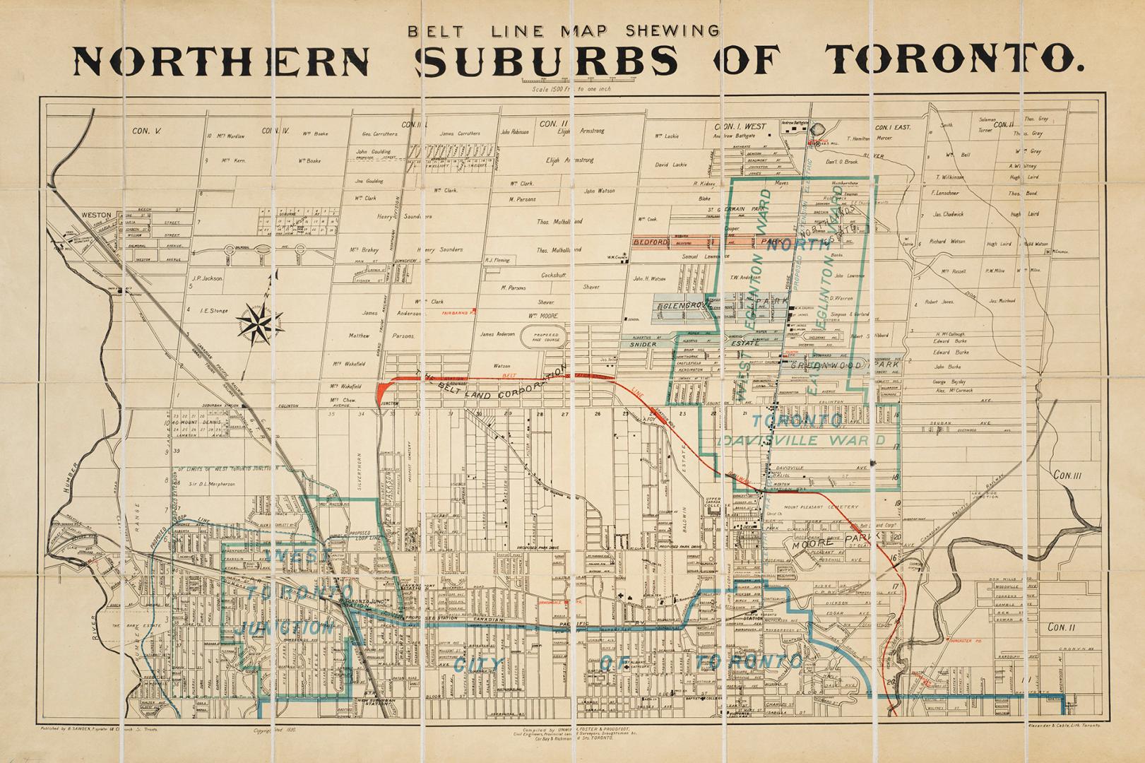

Belt line map shewing northern suburbs of Toronto
Date1890
Names
Alexander & Cable Lithographing Co. Ltd
(lithographer)
B. Sawden
(publisher)
Unwin, Foster & Proudfoot
(cartographer)
FormatMap
NotesShows names of landowners.
Subject
Dimensions56 cm x 81 cm (22 1/16 in. x 31 7/8 in.)
Scale1 inch = 1500 feet
Language
CollectionBaldwin Collection of Canadiana
Usage Rights
Public Domain
(Learn More)
Object NumberT-1890-2-LARGE