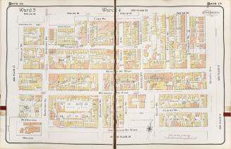
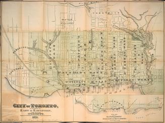
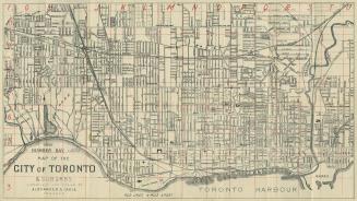
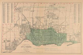
Plan of the City of Toronto and suburbs shewing new & old ward divisions
Date1891
Names
Penson, Seymour R.
(cartographer)
S.R.G. Penson (Toronto, Ont.)
(publisher)
Burland Lithographic Co.
(lithographer)
FormatMap
NotesIncludes street index. Streetcar routes are shown by dotted line. The figures between lines are numbers of registered plans. Manuscript notes inserted.
Subject
Dimensions58.5 cm x 98.5 cm (23 1/16 in. x 38 3/4 in.)
Scale1 inch = 0.3 miles (Approximately)
Language
CollectionBaldwin Collection of Canadiana
Usage Rights
Public Domain
(Learn More)
Object NumberT-1891-2-LARGE