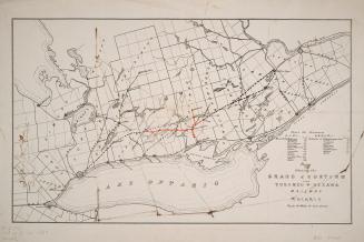
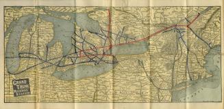
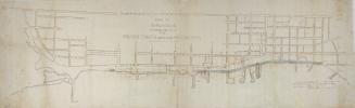
Map shewing Temiscouata Railway and its connection with the railways of Canada
DateApproximately 1890
Names
Waterlow and Sons
(engraver)
Waterlow and Sons
(printer)
FormatMap
Subject
Dimensions20.5 cm x 33.5 cm (8 1/16 in. x 13 3/16 in.)
Language
CollectionBaldwin Collection of Canadiana
Usage Rights
Public Domain
(Learn More)
Object Number912-715-T25-SMALL


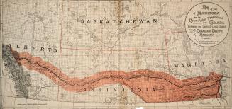


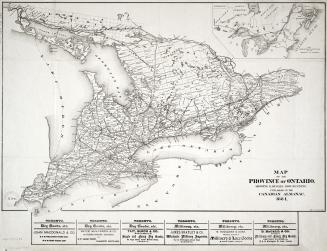
Canada. Department of Agriculture
1870

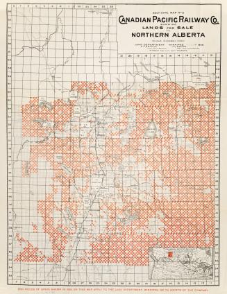
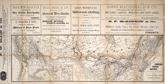
Canadian Pacific Railway Company
1902