

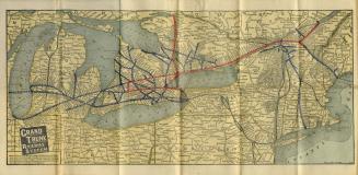
Map of the Canadian Pacific Railway : the Minneapolis, St. Paul & Sault Ste. Marie Railway, the Duluth, South Shore and Atlantic Railway and connections
Date1919
Names
Canadian Pacific Railway Company
(subject)
Chicago : Poole Brothers
(author)
FormatMap
Subject
Medium
Dimensions48.5 cm x 117 cm
Scale1 inch = 75 miles
Language
CollectionBaldwin Collection of Canadiana
Usage Rights
Public Domain
(Learn More)
Object Number385-71-C1281-SMALL


Toronto Star (Firm)
3 September 1988

Grand Trunk Railway Company of Canada
1892

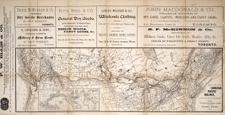
Grand Trunk Railway Company of Canada
1891

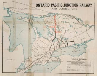
Grand Trunk Railway Company of Canada
Approximately 1880


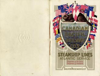
Canadian Pacific Railway Company
1913

Waterlow and Sons
Approximately 1890