Plan showing that section of country lying between the old seig. settlements on the river St. Lawrence
Date1827
Names
Bouchette, Joseph, 1774-1841
(author)
Smillie, James, 1807-1885
(engraver)
Lower Canada. Legislature. House of Assembly
(publisher)
FormatMap
Notes| A scarce map of New Brunswick and Quebec from the Journals of the House of Assembly of Lower Canada, 1827 |
Subject
Dimensions27.5 cm x 38.5 cm (10 13/16 in. x 15 3/16 in.)
Language
CollectionBaldwin Collection of Canadiana
Usage Rights
Public Domain
(Learn More)
Object Number912-714-B594-SMALL

Wyld, James, 1790-1836
Approximately 1872
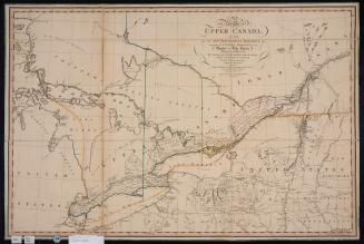
Smyth, David William, Sir, 1764-1837
12 April 1800
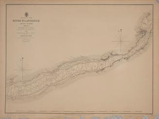
Bayfield, Henry Wolsey, 1795-1885
1831
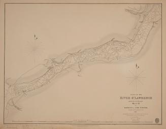
Bayfield, Henry Wolsey, 1795-1885
1831
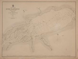
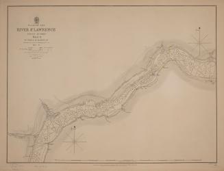
Bayfield, Henry Wolsey, 1795-1885
1834
Bayfield, Henry Wolsey, 1795-1885
1837
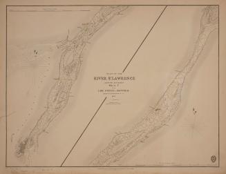
Bayfield, Henry Wolsey, 1795-1885
1837