

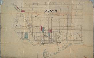
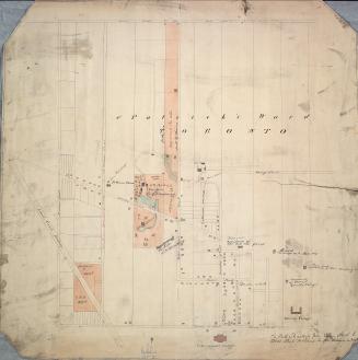
Castle Frank (1794)
DateApproximately 1908
Names
Unknown
(cartographer)
Robertson, J. Ross (John Ross), 1841-1918
(contributor)
FormatMap
NotesApproximately 1908 reproduction of original 1794 map.
Subject
Dimensions60 cm x 49 cm (23 5/8 in. x 19 5/16 in.)
Scale1 inch = 4 chains
Language
ProvenanceGift of John Ross Robertson (JRR collection #56)
CollectionBaldwin Collection of Canadiana
Usage Rights
Public Domain
(Learn More)
Object NumberT-1794-SMALL


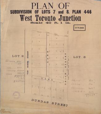
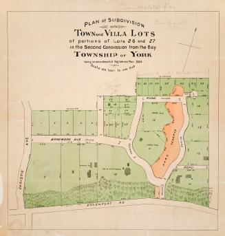

Alexander & Cable Lithographing Co. Ltd
1890
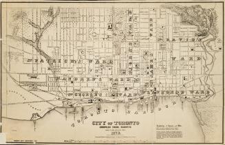

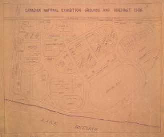
Alexander & Cable Lithographing Co. Ltd
1885