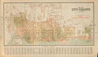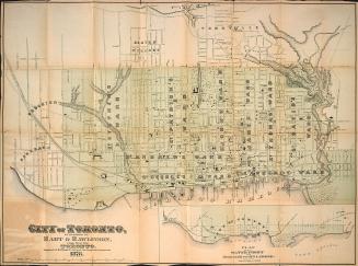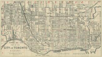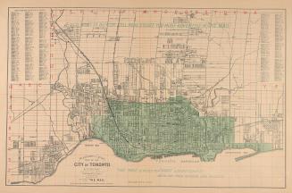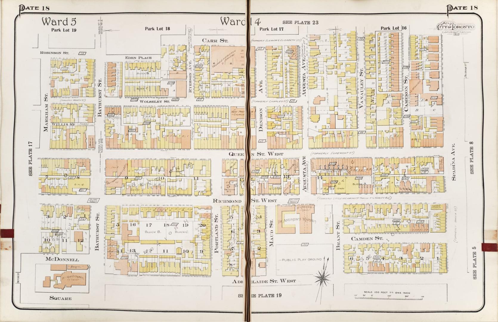

Atlas of the City of Toronto and suburbs(volume I, plate 18)
Date1912
Names
Chas. E. Goad, Ltd.
(publisher)
Goad, Charles E.
(author)
FormatBook
Subject
Medium
Dimensions1 v. : plans (part fold.)
Language
CollectionBaldwin Collection of Canadiana
Usage Rights
Public Domain
(Learn More)
Object Number912_71354GOA_V1_PLATE_18


![[Plate 18] Atlas of the city of Toronto and vicinity from special survey founded on registered plans and showing all building and lot numbers.](/internal/media/dispatcher/2117720/thumbnail)
![[Plate 18] Atlas of the city of Toronto and vicinity from special survey founded on registered plans and showing all building and lot numbers.](/internal/media/dispatcher/2096576/thumbnail)
![[Plate 18] Atlas of the city of Toronto and vicinity from special survey founded on registered plans and showing all building and lot numbers.](/internal/media/dispatcher/2031180/thumbnail)
![[Plate 18] Atlas of the city of Toronto and vicinity.](/internal/media/dispatcher/2116765/thumbnail)