Map of the United States and Canada, New Scotland, New Brunswick and Newfoundland
Date1806
Names
FormatMap
Subject
Dimensions52 cm x 78 cm (20 1/2 in. x 30 11/16 in.)
Language
CollectionBaldwin Collection of Canadiana
Usage Rights
Public Domain
(Learn More)
Object Number912-7-T12-MEDIUM
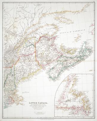
Arrowsmith, John, 1790-1873
1838
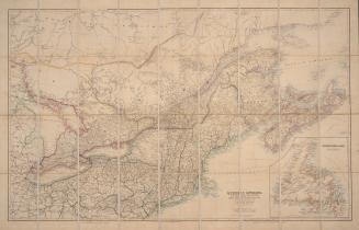
Arrowsmith, John, 1790-1873
20 March 1879


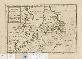
Grand Banks of Newfoundland Newfoundland and Labrador
1708