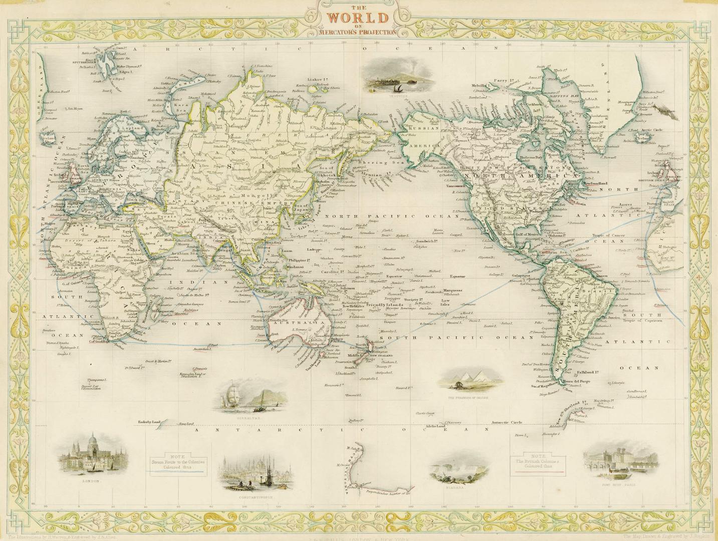

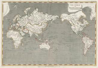
World on Mercator's projection
Date1851
Names
Allen J. B.
(engraver)
J & F Tallis
(publisher)
Mercator, Gerhard, 1512-1594
(subject)
Rapkin, John, 1815-1876
(engraver)
Warren, Henry
(illustrator)
Rapkin, John, 1815-1876
(draftsman)
FormatMap
Subject
Medium
Dimensions27 cm x 35.8 cm (10 5/8 in. x 14 1/8 in.)
Language
CollectionBaldwin Collection of Canadiana
Usage Rights
Public Domain
(Learn More)
Object Number912-R11

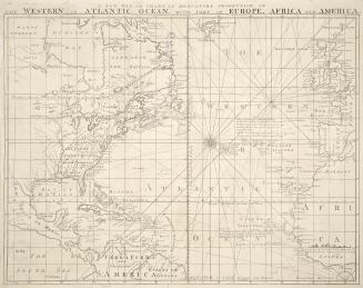
Berghaus, Hermann, 1828-1890
1863
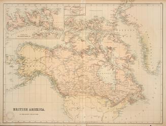


Chapman, Christopher, 1927-2015
8/2/1973