Skip to main content
Advanced Search Objects: results
Close
Refine Results
Show Only Public Domain
Format
Map
(923)
Book
(60)
Ephemera
(13)
Picture
(5)
Manuscript
(1)
Date
to
Names
Unknown
(70)
Burland Lithographic Co.
(37)
Goad, Charles E.
(37)
Chas. E. Goad, Ltd.
(35)
Ontario. Department of Crown Lands
(31)
Copp Clark Company
(29)
Jefferys, Thomas, -1771
(24)
Canada. Department of the Interior
(20)
Robertson, J. Ross (John Ross), 1841-1918
(20)
Pardee, Timothy Blair, 1830-1889
(18)
Load all
Subject
Load all
Collection
Baldwin Collection of Canadiana
(984)
Humanities and Social Sciences department
(8)
Osborne Collection of Early Children's Books
(3)
Toronto Star Photograph Archive
(2)
Archives of Ontario
(1)
Arthur Conan Doyle Collection
(1)
Local History Collection, Leaside branch
(1)
Special Collections in the Arts
(1)
Toronto Public Library Archives
(1)
Language
Building, monument or park
Toronto Harbour
(16)
Fort York
(8)
Canadian National Exhibition (CNE)
(1)
Fort Frontenac
(1)
Fort George
(1)
Fort Ticonderoga (N.Y.)
(1)
Louisbourg (N.S.)
(1)
Moulthorp Lumber Company
(1)
Osgoode Hall (Toronto, Ontario)
(1)
Provincial Lunatic Asylum
(1)
Load all
City, town or township
Toronto
(211)
Montréal
(17)
Québec
(16)
Ottawa
(6)
Belleville
(5)
Kawartha Lakes
(4)
King (Ont. : Township)
(4)
Vaughan
(4)
Ameliasburgh (Ont.: Township)
(3)
Hamilton
(3)
Load all
Neighbourhood
Harbour
(38)
Railway Lands
(24)
Garrison
(23)
King-Spadina
(20)
St. Lawrence
(20)
Exhibition
(18)
Financial District
(18)
Toronto Islands
(17)
Port Lands
(14)
Downtown
(11)
Load all
North-south street
Yonge Street
(11)
Bathurst Street
(7)
Dovercourt Road
(5)
Dufferin Street
(5)
Sherbourne Street
(4)
Bay Street
(3)
Christie Street
(3)
Leslie Street
(3)
Lippincott Street
(3)
Peter Street
(3)
Load all
East-west street
Bloor Street West
(18)
College Street
(7)
Davenport Road
(7)
Dundas Street West
(5)
Front Street West
(5)
Queen Street West
(5)
King Street West
(4)
Bloor Street East
(3)
Dupont Street
(3)
Front Street East
(3)
Load all
Sort:
Relevance
Date (Older First)
Date (Newer First)
Title (A–Z)
Title (Z–A)
Last Updated (Ascending)
Last Updated (Descending)
List
Images
Table
Previous
/ 51
Next
Advanced Search
Filters
Title
Names
Subject
Call Number / Accession Number
Date Range
to
Collection
All
Archives of Ontario
Arthur Conan Doyle Collection
Arts department
Baldwin Collection of Canadiana
Business, Science, and Technology department
Chinese Canadian Archive
City of Toronto Archives
Humanities and Social Sciences department
IBBY Collection for Young People with Disabilities
Languages and Literature department
Local History Collection, Annette branch
Local History Collection, Beaches branch
Local History Collection, Bloor/Gladstone branch
Local History Collection, Dufferin/St. Clair branch
Local History Collection, Gerrard/Ashdale branch
Local History Collection, Leaside branch
Local History Collection, North York Central Library branch
Local History Collection, Northern District branch
Local History Collection, Palmerston branch
Local History Collection, Parkdale branch
Local History Collection, Riverdale branch
Local History Collection, Sanderson branch
Local History Collection, Weston branch
Local History Collection, Wychwood branch
Merril Collection of Science Fiction, Speculation and Fantasy
Ontario History Quest
Osborne Collection of Early Children's Books
Special Collections in the Arts
Toronto Public Library Archives
Toronto Reference Library
Toronto Star Photograph Archive
Formats
All
Artifact (an object in our collections)
Book
Ephemera
Manuscript
Map
Photo Album
Picture
Language
All
Clear
1,002 for
Subject
:
http://nodes.emuseum.com/6QKN203O/apis/emuseum/network/v1/vocabularies/termMaster6716767
City of Toronto Ashbridge's Bay reclamation, plan of proposed subdivision shewing location of factory sites, wharf properties, and parks
1896
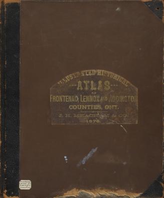
Illustrated historical atlas of the counties of Frontenac, Lennox and Addington, Ontario
1878
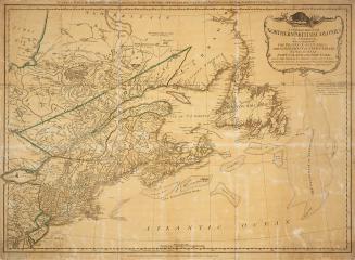
A general map of the northern British colonies in America
1776
Original plan of the Toronto Purchase from the Indians, 1787-1805
1911
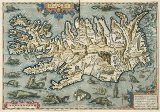
Theatrvm orbis terrarvm. Opus nunc denuo ab ipso auctore recognitum, multisque locis castigatum, & quamplurimis nouis tabulis atque commentarijs auctum
1592
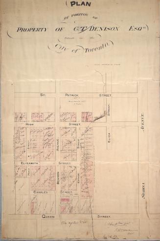
Plan of portion of property of G.T. Denison Esq.re situate in the city of Toronto
1853
Bryce's new index map of Toronto
1888
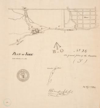
(1823) Plan of York
Approximately 1908
Highlands of Toronto plan of building lots for sale the property of the Toronto Belt Land Corporation in that portion designated ''Fairbank'' on the Belt Line Railway.
1910
Illustrated atlas of the Dominion of Canada, containing authentic and complete maps of all the provinces, the North-west territories and the island of Newfoundland, from the latest official surveys and plans, by permission of the general and provincial governments, together with a general descriptive history, &c., also maps of Europe, Asia, Africa, North and South America, United States, Oceanica, The World, &c., &c.
1880
British Columbia, reduced copy of the map referred to in the despatch of Governor Douglas, dated 16th July, 1861
1861
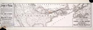
Grand Trunk Railway of Canada, to Manitoba, the Northwest Territories, and all points in Canada and the United States
1879
Plan of the city of Toronto showing the government survey and the registered subdivision into lots
1862
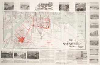
Map of the Border Cities of Windsor, Walkerville, Ford City, Sandwich and Ojibway Canada
1920
General plan of arrangements for railway termini in the city of Toronto
1853
A voyage of discovery to the North Pacific Ocean, and round the world, in which the coast of North-west America has been carefully examined and accura(...)
1798
The Toronto Harbor Commissioners Waterfront Development Progress Plan 1914-1918
Between 1914 and 1918
The Toronto Harbor Commissioners Engineering Department Waterfront Development
1912
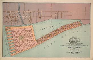
Plan of that portion of the marsh and water frontage, situate southward of lots no5 to 15 inclusive in the broken front con. in the township of York
1889
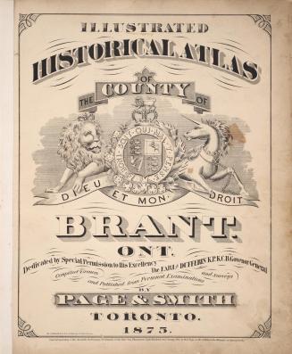
Illustrated historical atlas of the county of Brant, Ont
1875
Previous
/ 51
Next
RDF
XML
JSON