Skip to main content
Moll, Herman, -1732
Close
Refine Results
Show Only Public Domain
Format
Map
(3)
Book
(1)
Date
to
Names
Moll, Herman, -1732
(4)
Salmon, Thomas
(1)
Tho. Bowles and John Bowles
(1)
Thomas Bowles
(1)
Tho. Bowles, John Bowles and J. King
(1)
Collection
Baldwin Collection of Canadiana
(4)
Sort:
Title (A–Z)
Date (Older First)
Date (Newer First)
Title (Z–A)
Last Updated (Ascending)
Last Updated (Descending)
List
Images
Table
/ 1
Filters
4 results
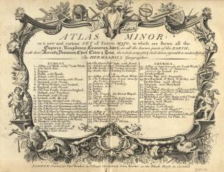
Atlas minor, or, A new and curicus set of sixty-two maps, in which are shewn all the empires, kingdoms, countries, states in all the known parts of th(...)
Moll, Herman, -1732
1711-1712.
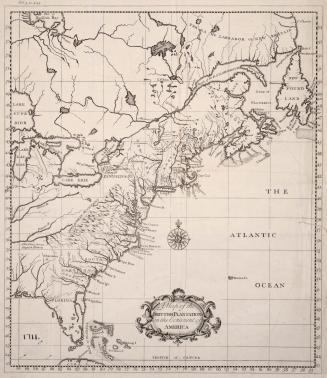
A map of the Brittish plantations on the continent of America
Moll, Herman, -1732
1739
A map of the North Pole with all the territories that lye near it, known to us &c according to the latest discoveries, and most exact observations agreeable to modern history
Moll, Herman, -1732
Approximately 1732
A new and exact map of the Dominions of the King of Great Britain on ye Continent of North America, Containing Newfoundland, New Scotland, New England(...)
Moll, Herman, -1732
1715
/ 1
RDF
XML
JSON