Skip to main content
Site maintenance in progress — some items may not be available
Poole Brothers
Close
Refine Results
Show Only Public Domain
Format
Map
(4)
Date
to
Names
Poole Brothers
(4)
Canadian Pacific Railway Company
(2)
Grand Trunk Pacific Railway Company
(1)
Department
Baldwin Collection of Canadiana
(4)
Country
Canada
(2)
United States
(1)
Historical location
Assiniboia
(1)
Medium
Regional maps
(3)
Transportation maps
(2)
Province state
Alberta
(1)
British Columbia
(1)
Ontario
(1)
Québec
(1)
Saskatchewan
(1)
Region or District
Northeastern United States
(1)
Sort:
Title (A–Z)
Date (Older First)
Date (Newer First)
Title (Z–A)
Last Updated (Ascending)
Last Updated (Descending)
List
Images
Table
/ 1
Filters
4 results
Kootenay District British Columbia
Poole Brothers
1897
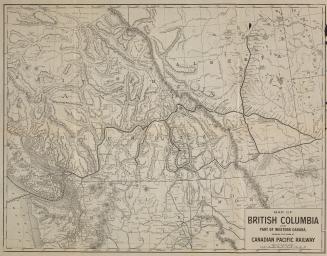
Map of British Columbia and part of Western Canada
Canadian Pacific Railway Company
Approximately 1890
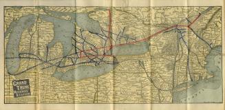
Map of Grand Trunk Railway system and connections
Poole Brothers
Approximately 1901
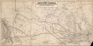
Map of Western Canada Manitoba, Alberta, Assiniboia, Saskatchewan and other parts of British Columbia, showing system of land survey and lines of the Canadian Pacific Railway Company
Canadian Pacific Railway Company
1907
/ 1
RDF
XML
JSON