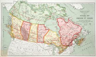
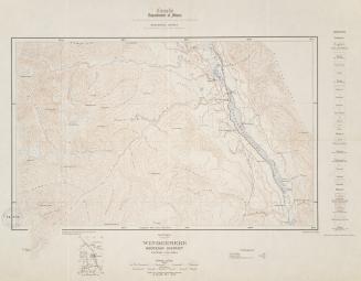
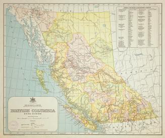
Geological Survey of Canada Province of Québec
Date1884
Names
Geological Survey of Canada
(issuing body)
Selwyn, Alfred Richard Cecil, 1824-1902
(contributor)
Ells, R. W. (Robert Wheelock), 1845-1911.
(compiler)
Ells, R. W. (Robert Wheelock), 1845-1911.
(draftsman)
Low, A. P. (Albert Peter), 1861-1942
(contributor)
Canada Bank Note Co.
(lithographer)
FormatMap
NotesGeologically surveyed by Logan, Murray, Richardson, Ells & Low 1843-83
Medium
Dimensions43 cm x 60 cm (16 15/16 in. x 23 5/8 in.)
Scale4 miles = 1 inch
Language
CollectionBaldwin Collection of Canadiana
Usage Rights
Public Domain
(Learn More)
Object Number557-14-G25-SMALL
Canadian Journal
Approximately 1850
Cochrane, Francis, 1852-1919
1911


Arrowsmith, John, 1790-1873
1861