

Map of part of the city of Montréal shewing …
DateApproximately 1850
Names
Trautwine, John C. (John Cresson), 1810-1883
(contributor)
W.A. Little
(lithographer)
W.A. Little
(publisher)
FormatMap
Notes| Inset map of plan of Montréal Harbour |
Subject
Medium
Dimensions57 cm x 88 cm (22 7/16 in. x 34 5/8 in.)
ScaleBar scale (English feet)
Language
CollectionBaldwin Collection of Canadiana
Usage Rights
Public Domain
(Learn More)
Object Number912-71428-T694


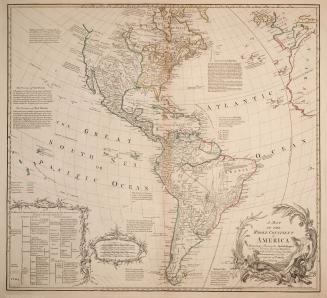
Canada. Department of Agriculture
1881

Canada. Department of Agriculture
1881

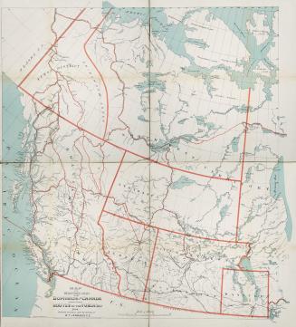
Canada. Department of the Interior
1878
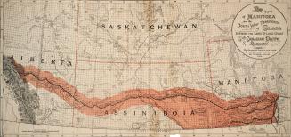
Canada. Department of Agriculture
1898

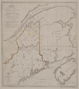


Brownlee, J. H., active 1887
1888
