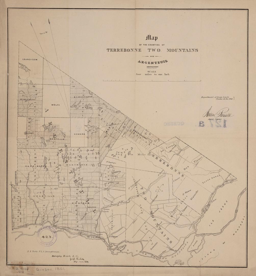

Map of the counties of Terrebonne Two Mountains and Argenteuil
DateDecember 31 1861
Names
Crown lands department
(author)
Bouchette, Joseph, 1774-1841
(contributor)
G. Matthews Litho. Montréal
(lithographer)
FormatMap
NotesE.E. Tache P.L.S. Draftsman Surveying Branch Canada East,
Assistant Commissioner for the Department of Crown Lands.
|
Subject
Medium
Dimensions43 cm x 40.5 cm (16 15/16 in. x 15 15/16 in.)
Scale1 inch = 4 miles
Language
CollectionBaldwin Collection of Canadiana
Usage Rights
Public Domain
(Learn More)
Object Number912-7142-C12-SMALL


Abbott, J. J. C. (John Joseph Caldwell), Sir, 1821-1893
1860