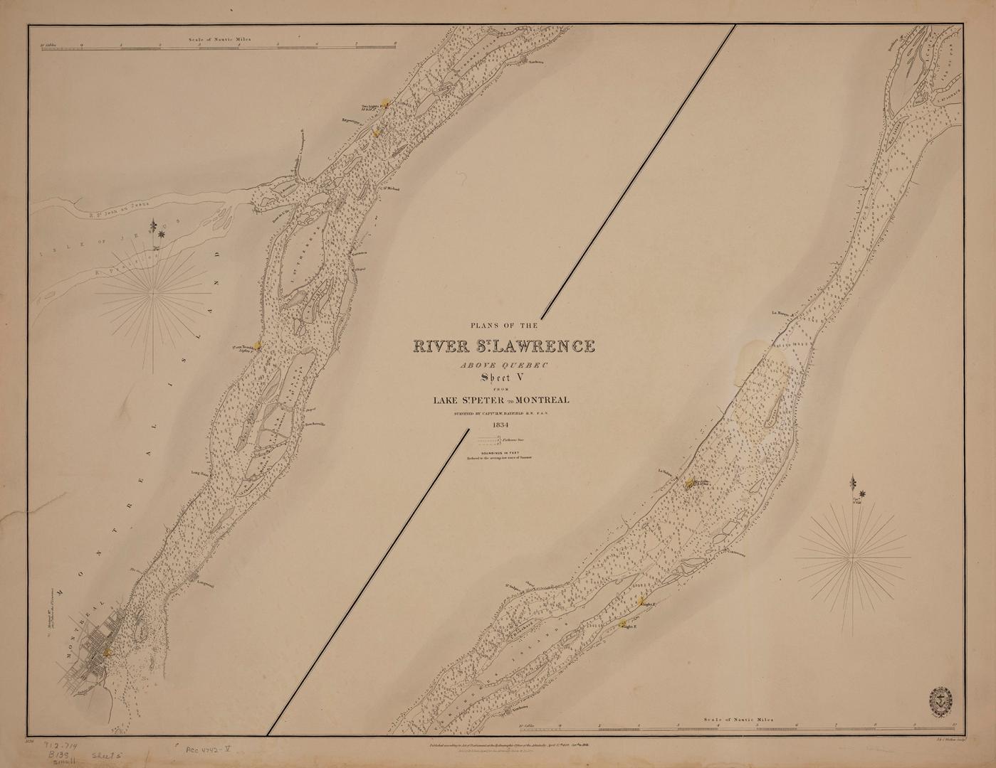

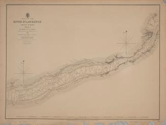
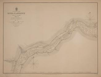
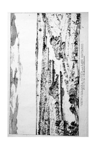
Plans of the River St. Lawrence above Québec sheet V from Lake St. Peter to Montréal
Date1834
Names
Bayfield, Henry Wolsey, 1795-1885
(contributor)
J & C Walker
(engraver)
J & C Walker
(printer)
Hydrographic Office
(publisher)
FormatMap
Notes| Published according to the Act of Parliament at the Hydrographic Office of the Admiralty April 12th 1838. Corrected to 1848. Sold by R.B. Bates agent for the admiralty charts 21 Poultry & Royal Exchange East |
Subject
Dimensions50 cm x 67.5 cm (19 11/16 in. x 26 9/16 in.)
ScaleBar scale (nautical miles)
Language
CollectionBaldwin Collection of Canadiana
Usage Rights
Public Domain
(Learn More)
Object Number912-714-B138-5-SMALL
Bayfield, Henry Wolsey, 1795-1885
1831
Bayfield, Henry Wolsey, 1795-1885
1831
Bayfield, Henry Wolsey, 1795-1885
1837
Bayfield, Henry Wolsey, 1795-1885
1837
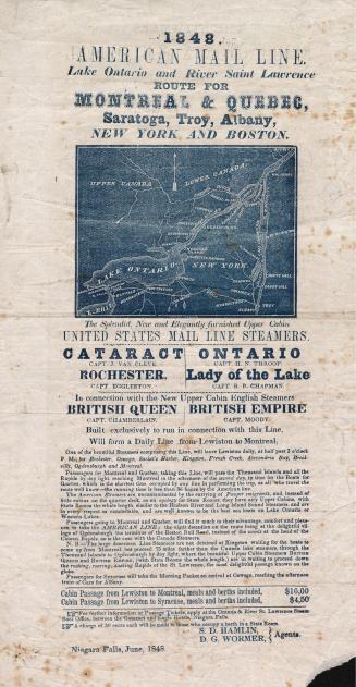
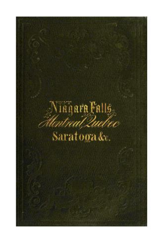
Jewett, Thomas & Co., Geo. H. Derby and Co.
1852

![The traveller's and sportsman's guide to the principal cities, towns & villages near the hunting & fishing grounds of the great northern lakes in Canada & Manitoba: being a description of the journey from Liverpool to the river "St. Lawrence", lakes "Ontario", "Simcoe", "Muskoka", "Chouchiching" [sic] the "Georgian Bay", lakes "Huron", "Superior", "Winnipeg", "Manitoba", and their connecting rivers, giving the best route to the game and fish sporting localities, how to go, cost of journey, outfit, what to take for camping, distances, &c.](/internal/media/filedispatcher/744225/thumbnail)