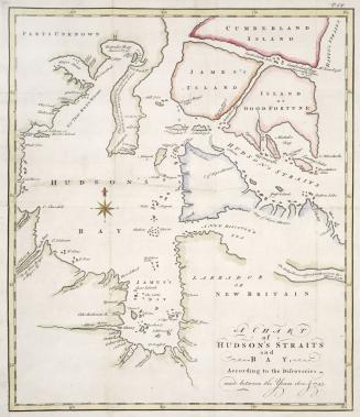
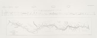
A map of Hudsons Bay and Parts adjacent, from the latest surveys and best authorities
DateApproximately 1750
Names
Jefferys, Thomas, -1771
(cartographer)
Owen's Magazine of Magazines
(publisher)
Alternate Title
- A map of Hudsons Bay and Parts adjacent, from the latest surveys and best authorities
FormatMap
Medium
Dimensions25 cm x 22 cm (9 13/16 in. x 8 11/16 in.)
ScaleApproximately 1:12 000 000
Language
CollectionBaldwin Collection of Canadiana
Usage Rights
Public Domain
(Learn More)
Call Number / Accession Number912-712-J24-1-SMALL
Dewey912.712 J24.1 SMALL
Geography
Geography
Geography
Geography
GeographyGeographical FeatureBaffin BayHudson Strait (Quebec and Nunavut)Atlantic OceanHudson BayBaffin Island (Nunavut)
Geography
Geography
Geography

Jefferys, Thomas, -1771
1768

Drage, Theodorus Swaine, approximately 1712-1774
1748


Canada. Department of the Interior
1904

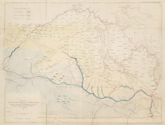
Arrowsmith, John, 1790-1873
1860
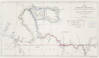
Arrowsmith, John, 1790-1873
1860


Arrowsmith, John, 1790-1873
1861