

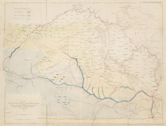
Map of the Red River Territory
Date1870
Names
FormatMap
Dimensionsca 1 : 2 500 000 : 53 x 58 cm.
CollectionBaldwin Collection of Canadiana
Usage Rights
Public Domain
(Learn More)
Object Number912-7126-L38SMALL


Dawson, S. J. (Simon James), 1820-1902
1869

Dawson, S. J. (Simon James), 1820-1902
1870

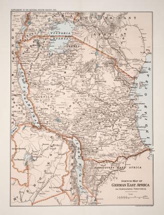
Stanford's Geographical Establishment
1916

Cary, John, approximately 1754-1835
1805

Canada. Department of the Interior
1878