

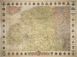
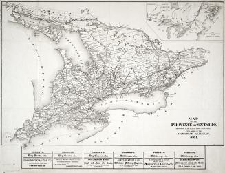
War map published by the Mail Printing Co
Date1918 circa
Names
Mail Printing Co.
(publisher)
Unknown
(author)
FormatMap
Subject
Medium
Dimensions1: 760 000 : 57 x 81 cm. folded to 22 x 12 cm.
Language
CollectionBaldwin Collection of Canadiana
Usage Rights
Public Domain
(Learn More)
Object Number940-41271-W129
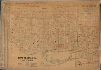
Montreal Star Publishing Company
Approximately 1918

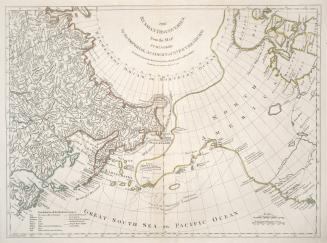
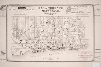
Robert Sayer (Firm)
1775


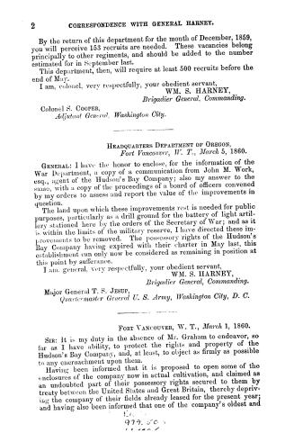
Harney, William S. (William Selby), 1800-1889
1860
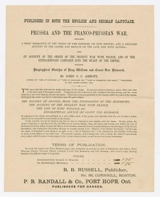
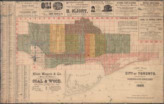
P.R. Randall & Co. (Port Hope, Ont.)
1871