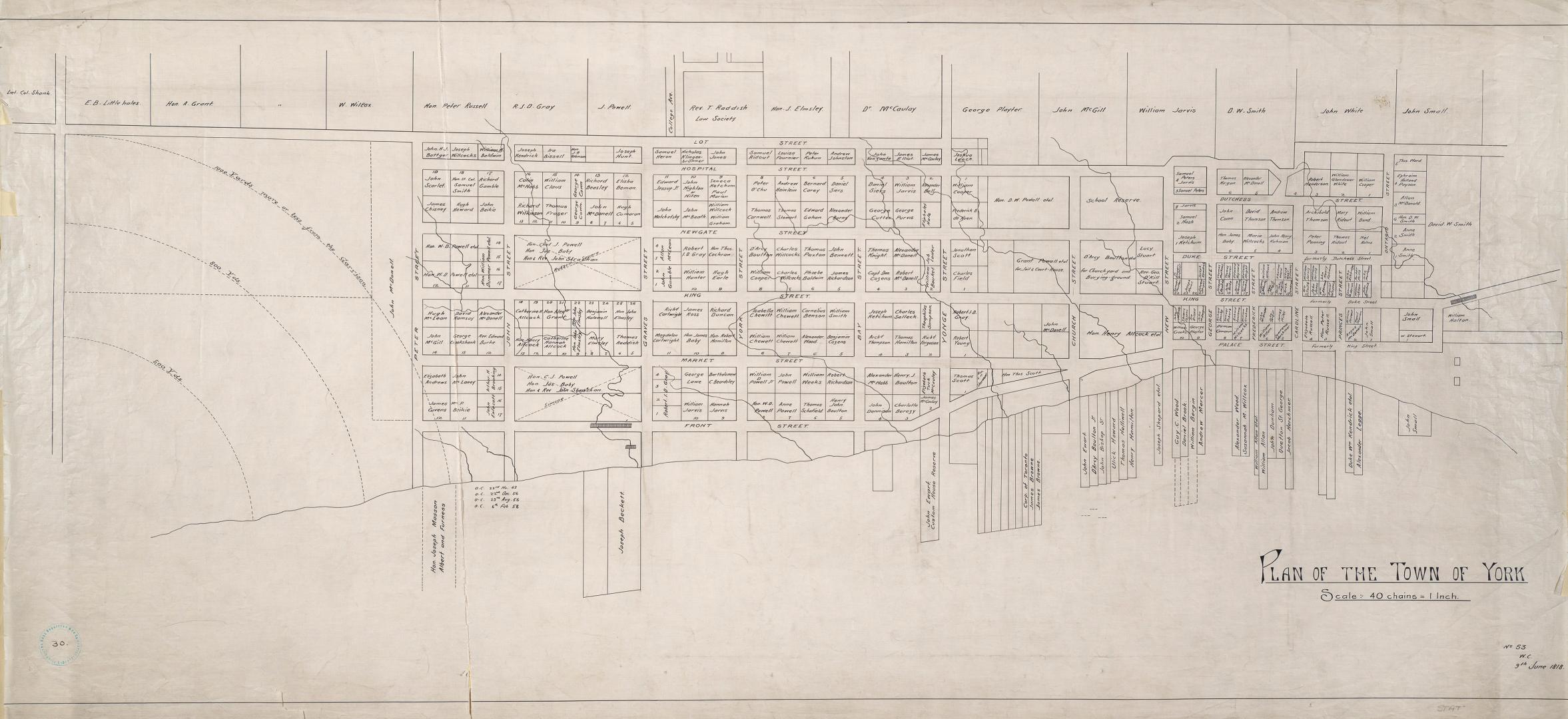

(1818) Plan of the Town of York
DateApproximately 1910
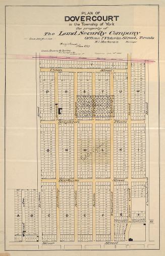
Names
Chewitt, William, 1753-1849
(cartographer)
Robertson, J. Ross (John Ross), 1841-1918
(contributor)
FormatMap
NotesApproximately 1908 reproduction of original 1818 map. Bottom right corner ''No. 53 W.C.'' From Ontario Street to west side of garrison reserve and from waterfront to Lot Street. Shows names of inhabitants on all lots.
Scale1 inch = 40 chains
Language
ProvenanceGift of John Ross Robertson (JRR collection #30)
CollectionBaldwin Collection of Canadiana
Usage Rights
Public Domain
(Learn More)
Object NumberT-1818-1-LARGE
Wilmot, Samuel Street, 1774-1856
Approximately 1908
Chewett, James G. (James Grant), 1793-1862
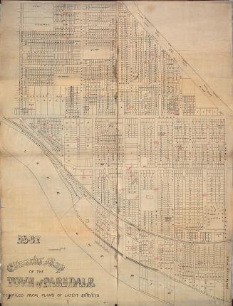
1837
Star Eng. Co. (Toronto, Ont.)
1887

Castle, Henry James
Approximately 1908

Alexander & Cable Lithographing Co. Ltd
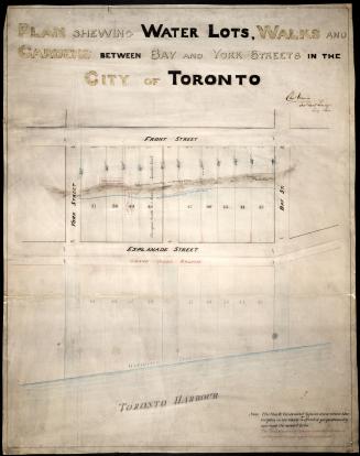
1890

Alexander & Cable Lithographing Co. Ltd
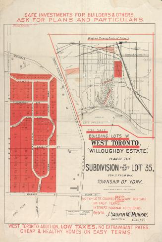
1885
Unwin, Charles, 1829-1918
1864
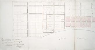
Russell, Peter, 1733-1808
1797
Unwin, Browne & Sankey
1880

Unwin, Browne & Sankey
1886
Unwin, Browne & Sankey
1882