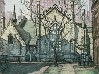
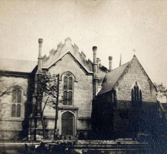
Ground Plan of the Church of the Holy Trinity (Toronto, 1847)
Date1933
Names
Unknown
(author)
FormatPicture
NotesGround Plan of the Church of the Holy Trinity (Toronto, 1847).
Subject
Medium
Dimensions211 x 153 mm
Language
CollectionBaldwin Collection of Canadiana
Usage Rights
Public Domain
(Learn More)
Object NumberPICTURES-R-518