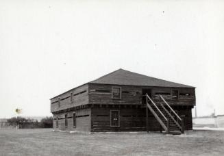
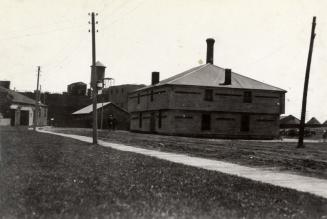
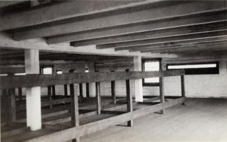
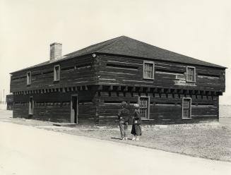
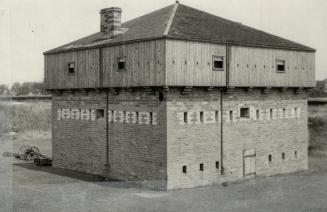
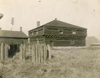
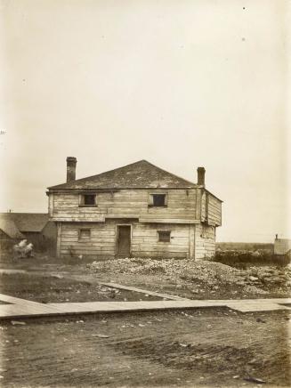
Plans of Western battery; ravine or no. 4 blockhouse; blockhouse, Gibraltar Point [1814]
Date1908
Names
Hughes, Philip
(author)
J. Simpson
(contributor)
FormatMap
Subject
Medium
Dimensions40.5 x 66 cm
Language
ProvenanceJohn Ross Robertson collection.
CollectionBaldwin Collection of Canadiana
Usage Rights
Public Domain
(Learn More)
Object NumberT-1814-5-SMALL