Digital Archive Ontario Homepage

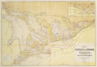
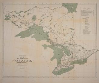
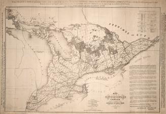
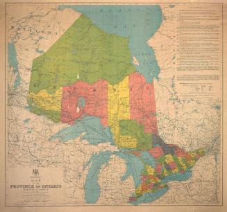
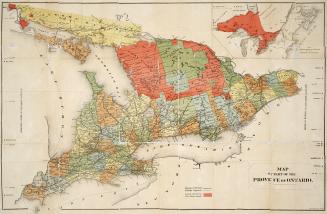
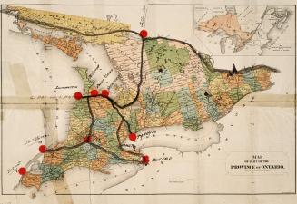
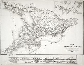
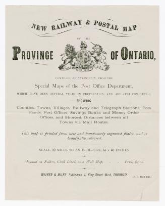
Map of the Province of Ontario

Date1887
FormatMap
Subject
    Medium
    Dimensions23.5 x 39 cm
    Language
      Usage Rights Public Domain (Learn More)
      Object Number912-713-M13-SMALL
      Prohibition map of part of the Province of Ontario
      Dominion Alliance, Ontario Branch
      1909
      Map of the province of Ontario, Dominion of Canada
      Ontario, Province. Bureau of Colonization
      1912
      Map of part of the province of Ontario
      Copp Clark Company
      Approximately 1882
      Map of part of the Province of Ontario Canada
      Copp Clark Company
      Approximately 1880
      New railway & postal map of the province of Ontario
      Walker and Miles, Publishers (Toronto, Ont.)
      1875