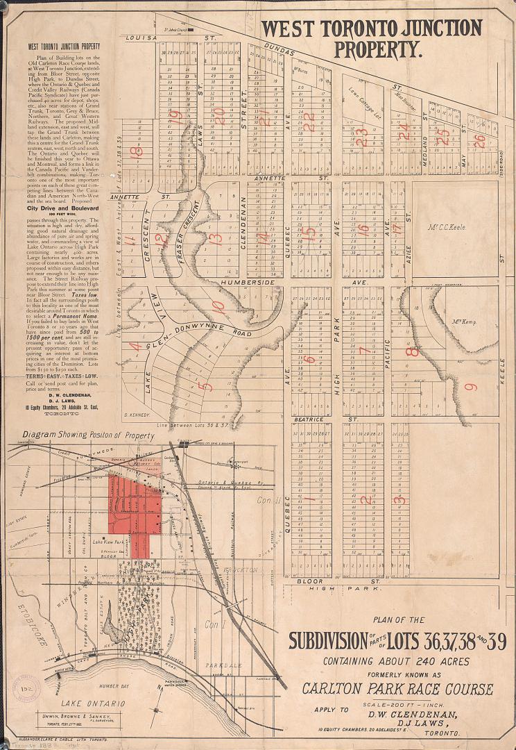

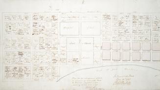
Plan of the subdivision of parts of lots 36, 37, 38 and 39 containing about 240 acres formerly known as Carlton Park Race Course.
Date1883
Names
Unwin, Browne & Sankey
(surveyor)
Alexander, Clare & Cable Lithographing (Toronto, Ont.)
(lithographer)
FormatMap
NotesNames of a few land owners. Insert diagram showing the position of the property. Apply to D. W. Clendenan and D. J. Laws 10 Equity Chambers, 20 Adelaide Street East, Toronto.
Subject
Dimensions84 cm x 58 cm (33 1/16 in. x 22 13/16 in.)
Language
CollectionBaldwin Collection of Canadiana
Usage Rights
Public Domain
(Learn More)
Object NumberT-1883-LARGE

Alexander & Cable Lithographing Co. Ltd
1884

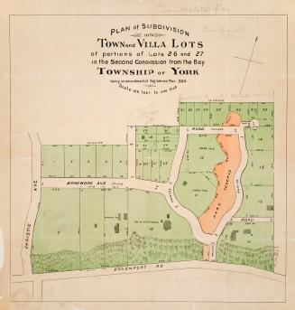
Denison, George T. (George Taylor), 1839-1925
1855

Alexander & Cable Lithographing Co. Ltd
1890

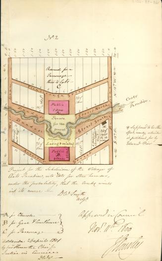
Denison, George T. (George Taylor), 1839-1925
1853
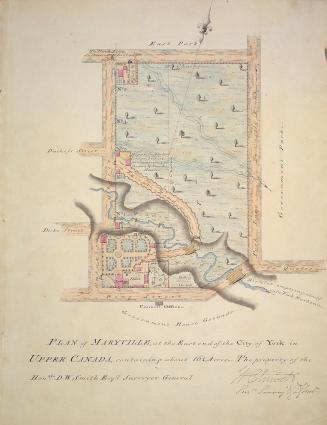

Smyth, David William, Sir, 1764-1837
1800