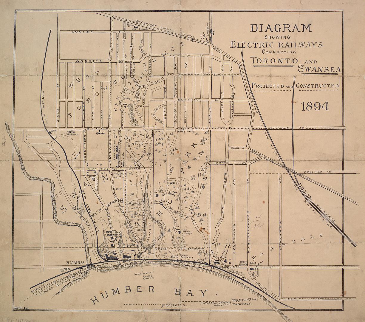

Diagram showing electric railways connecting Toronto and Swansea projected and constructed
Date1894
Names
Ellis, J.
(lithographer)
FormatMap
NotesThe map shows projected and constructed electric railways from Jane St. to Sorauren Ave., from Humber Bay north to Dundas St.
Subject
Medium
Dimensions39.5 cm x 44.5 cm (15 9/16 in. x 17 1/2 in.)
Language
CollectionBaldwin Collection of Canadiana
Usage Rights
Public Domain
(Learn More)
Object NumberMsX.12
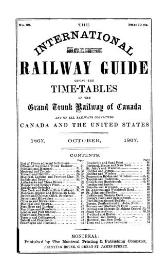
Grand Trunk Railway Company of Canada
[1867]
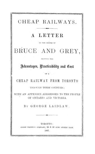
Globe Printing Company (Toronto, Ont.)
1867


Salmon, James V. (James Victor)
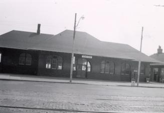
7/31/1956

Abitibi River Paper Co.
6/10/1930

Toronto and Scarboro' Electric Railway, Light and Power Company
1894-01-13