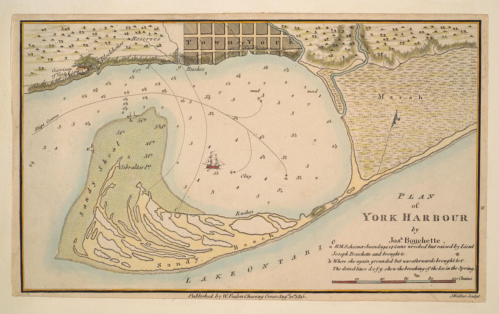

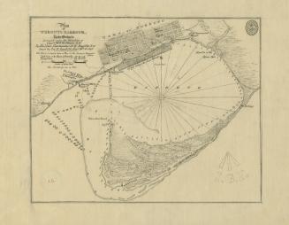
Plan of York Harbour
Date1815
Names
Bouchette, J. (Joseph), 1774-1841
(cartographer)
W. Faden, Charing Cross
(publisher)
J. Walker
(engraver)
FormatMap
Subject
Dimensions13 x 22 cm
ScaleBar scale (chains)
ScaleApproximately 1:35,000
Language
CollectionBaldwin Collection of Canadiana
Usage Rights
Public Domain
(Learn More)
Object NumberT-1815-FOLD
Bonnycastle, Richard Henry, Sir, 1791-1847
1907
Nicolls, Gustavus
Approximately 1908

Aitken, Alexander, -1800
1908

![(1788) Plan of Torento [sic] Harbour with the proposed town and part of the settlement, Québec 6th Dec. 1788, Gothermann, Capn. Commandg. Rl. Engrs. Colonial Correspondence Canada (Québec) 1790 no. 47 Plan B](/internal/media/dispatcher/2237612/thumbnail)
Bayfield, H. W.
Approximately 1908
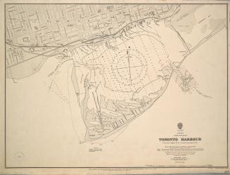
Great Britain. Admiralty
1907
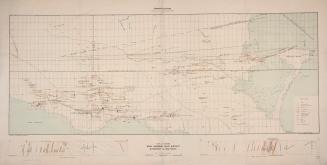
Faribault, E.R. (Eugène Rodolphe), 1860-
1905

