

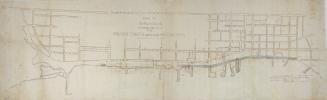
Plan of Esplanade St., shewing railway tracks & obstructions, also proposed extension of Esplanade 40 or 60 ft. to the south, for street purposes
Date1884
Names
City Engineer's Office
(cartographer)
Copp Clark Company
(publisher)
Copp Clark Company
(lithographer)
FormatMap
NotesShows names of wharves
Subject
Dimensions34 cm x 119 cm (13 3/8 in. x 46 7/8 in.)
Scale1 inch = 200 feet
Language
CollectionBaldwin Collection of Canadiana
Usage Rights
Public Domain
(Learn More)
Object NumberT-1884-2-SMALL

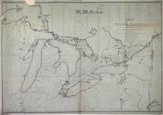
Canadian Pacific Railway Company
1890

Grand Trunk Railway Company of Canada
1880


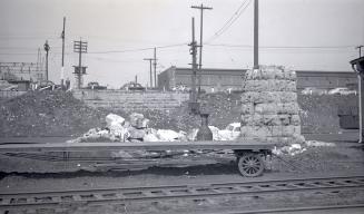
Salmon, James V. (James Victor)
1952

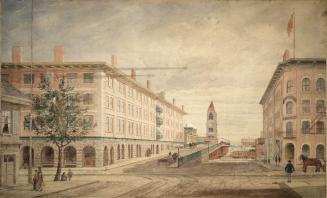
John Smyth (Toronto, Ont.)
1837
Salmon, James V. (James Victor)
1953

