Skip to main content
Maps in French
Close
Refine Results
Show Only Public Domain
Format
Map
(68)
Date
to
Names
Ode, Henri
(17)
Ph. Vandermaelen
(17)
Vandermaelen, Philippe, 1795-1869
(15)
Bellin, Jacques Nicolas, 1703-1772
(8)
Unknown
(4)
Tardieu, P. F.
(3)
Mallet, Allain Manesson, 1630-1706
(3)
Manesson-Mallet, Allain, approximately 1630-approximately 1706
(3)
Thierry, Denys, ?-1712
(3)
Blondel la Rougery
(2)
Load all
Subject
Load all
Collection
Baldwin Collection of Canadiana
(68)
Language
Building, monument or park
Fort Frontenac
(1)
City, town or township
Arras
(1)
Kingston
(1)
Montréal
(1)
Québec
(1)
Sort:
Relevance
Date (Older First)
Date (Newer First)
Title (A–Z)
Title (Z–A)
Last Updated (Ascending)
Last Updated (Descending)
List
Images
Table
Previous
/ 4
Filters
68
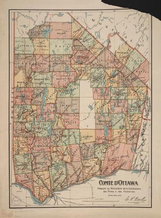
Comté d'Ottawa
1 March 1910
Carte de la riviere Longue : et de quelques autres, qui se dechargent dans le grand fleuve de Missisipi [sic] ... ; Carte que les Gnacsitares : ont dessine sur des paux de cerfs ..
1703
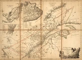
Nouvelle Carte de la province de Québec
1776
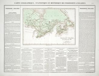
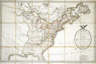
Carte Geographique, Statistique et Historique des Posessions Anglaises
1825
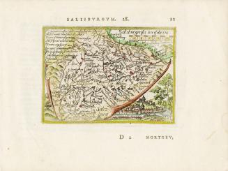
Salisburgensis Iurisdictio
Approximately1588
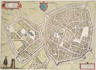
Arras
1581
A particular map of the American Lakes, Rivers &c
1790
Map of the United States and Canada, New Scotland, New Brunswick and Newfoundland
1806
Previous
/ 4
RDF
XML
JSON
![Carte de la riviere Longue : et de quelques autres, qui se dechargent dans le grand fleuve de Missisipi [sic] ... ; Carte que les Gnacsitares : ont dessine sur des paux de cerfs ..](/internal/media/dispatcher/2001889/thumbnail)